Using the Map Preview
The Map Preview
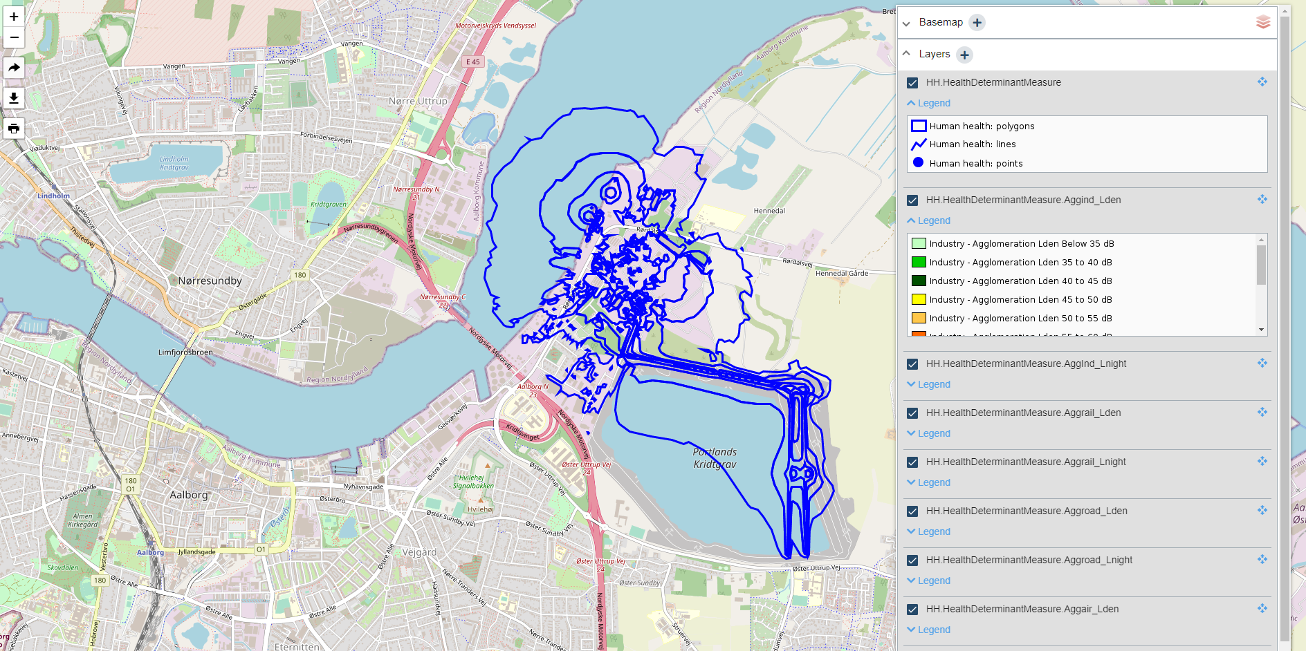
The map preview is a simple web map application that enables the viewing of published WMS services.

The Layer Widget
The layer widget contains:
- legend information,
- the option to add external WMS layers,
- the options to turn layers on and off, and
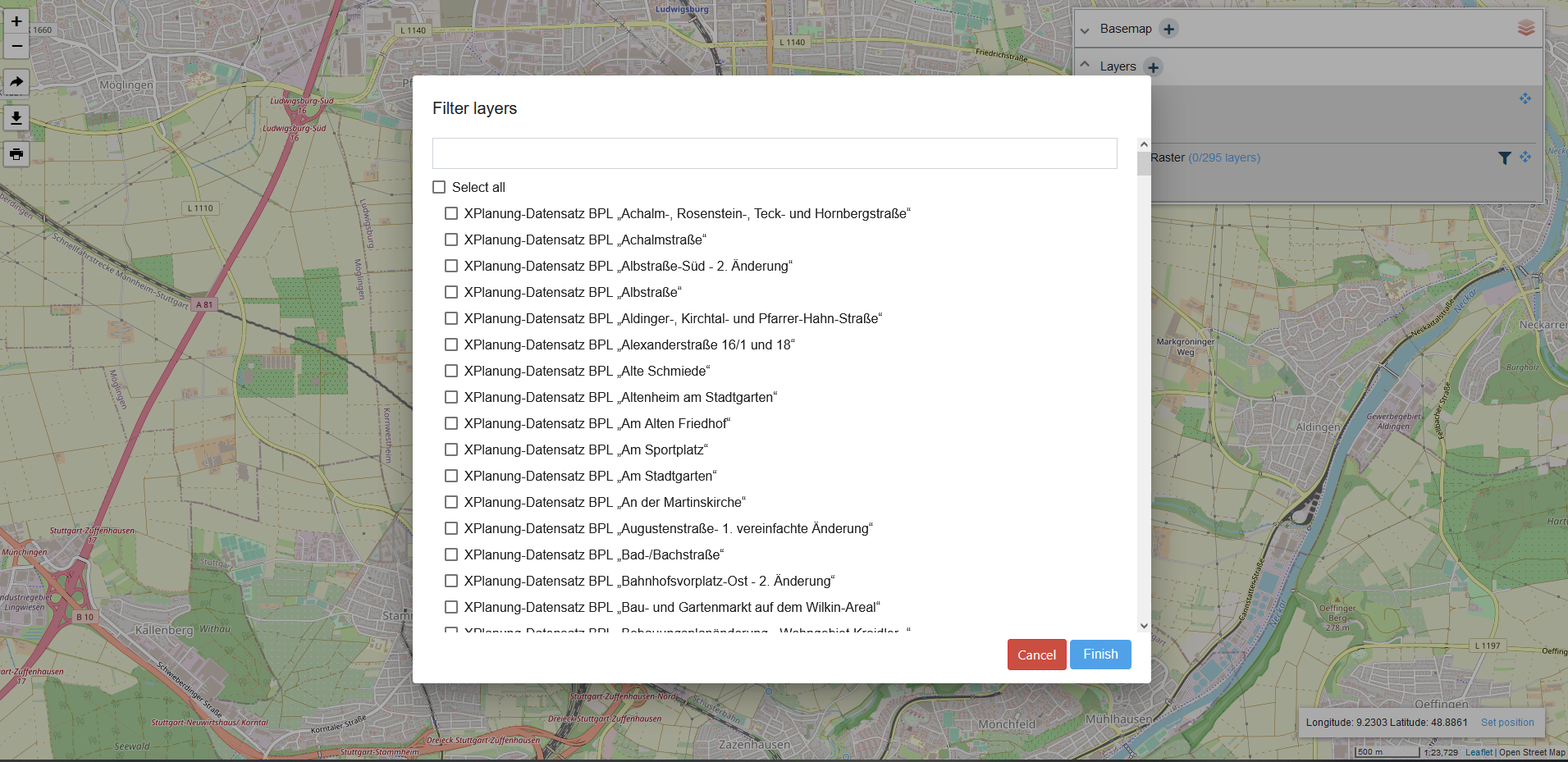
- the option to filter raster datasets for display within a dataset series
Select single datasets in a dataset series
For published dataset series services, click on the filter icon within the layer widget to invoke the dataset selection dialog and select the sub-datasets for display.

Add an external WMS layer
The layer widget supports the option to add external WMS layers to the map preview so that external layers can be viewed together with hale»connect services. Additional hale»connect services can also be added. Click on the plus sign in the Layers panel to add your WMS. You can arrange the order of layers in the layer list to configure the display of layers in the map preview.
Add a custom basemap
The layer widget also offers the option to supply a custom basemap URL. Click on the plus sign in the Basemap panel to add your URL. Visit the following documentation page for more information about adding a custom WMS basemap to your organisation: Adding an organisation.
Add external WMS as background map
In addition, the layer widget supports the option to add external WMS services to the map preview so that external services can be viewed alongside hale»connect services.
The map preview includes a responsive scale widget, including scale factor and cursor coordinate display in the bottom right hand corner of the application. Coordinates can be entered to update the extent of the map and zoom to a particular location.
The vertical row of buttons in the upper left hand corner of the map preview enable users to:
- zoom in and out
- generate a permalink with the currently selected extent, layer configuration and zoom level which can be shared
- print the current map extent or generate a PDF